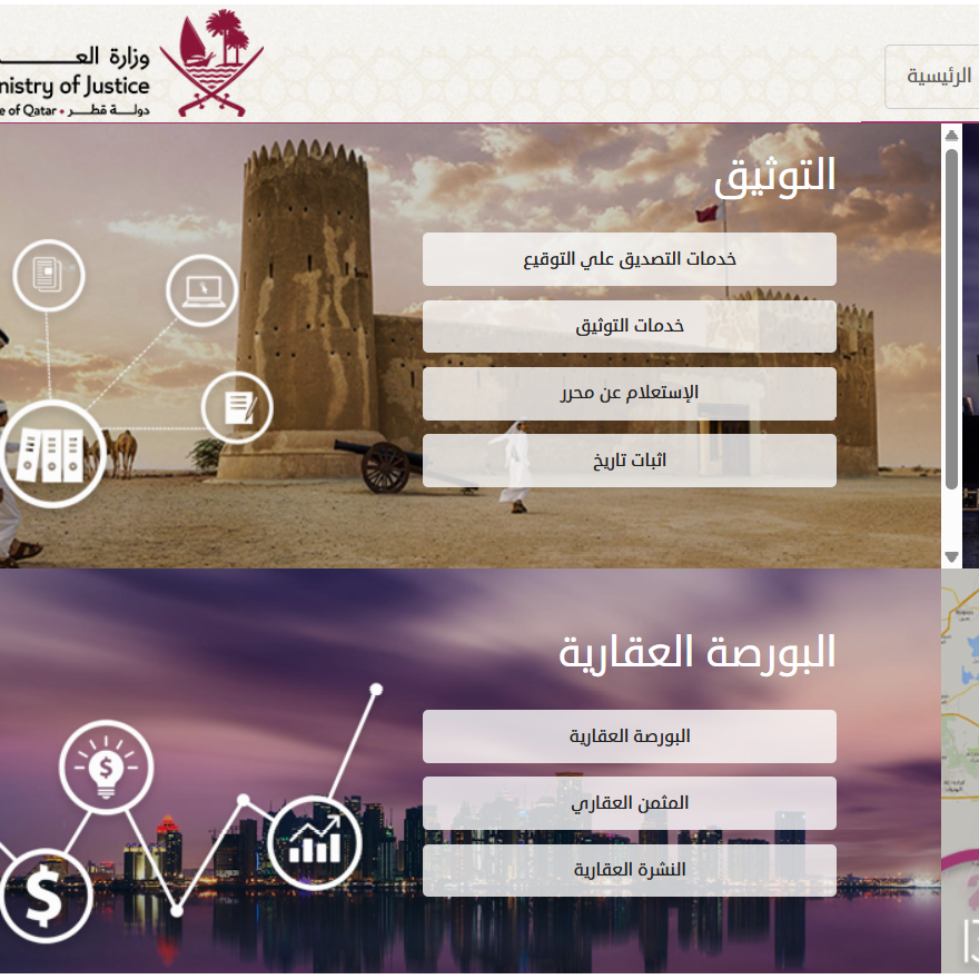
• +974 4455 8580
about
01

ArcGIS StoryMaps

Storytelling with maps has never been easier.

Give storytellers in your organization the ability to create beautiful digital narratives using ArcGIS StoryMaps with the new Storyteller user type. This user type is ideal for people who solely want to make stories by embedding shared ArcGIS content from their organization or by creating their own express maps.

LEARN MORE
about
02

ArcGIS Insights

Self-service location analytics.

Part of the Esri Geospatial Cloud, ArcGIS Insights is analysis software that fuses location analytics with open data science and business intelligence workflows. Answer questions you didn’t know to ask, analyze data completely, and unlock new insights. Empower analyst of all skill levels, across departments, to directly connect data, perform advanced analytics, and take results into 3rd party systems.

LEARN MORE
about
03

Location Intelligence

Driving digital transformation.

Location intelligence (LI) is achieved via visualization and analysis of geospatial data to empower understanding, insight, decision-making, and prediction. By adding layers of data—such as demographics, traffic, and weather—to a smart map, organizations gain location intelligence as they understand why things happen where they do. As part of a digital transformation, many organizations are relying on geographic information systems (GIS) technology to create location intelligence.

LEARN MORE
about
04

ArcGIS Urban

Transforming urban planning and design.

Issues like housing availability, sustainability goals, and economic changes are compelling cities to better plan for the future. ArcGIS Urban enables planners and design professionals to collaborate across teams with a web-based 3D application that supports scenario planning and impact assessment. ArcGIS Urban enables the digital transformation of city and regional planning to encourage collaboration with community stakeholders and help all groups work toward a more sustainable future.

LEARN MORE

Twitter Feeds